Great Divide (NOBO) - Day #43 Blackstone River, AB to Hinton, AB
Great Divide (NOBO) - Day #43
July 12 2022
Blackstone River, AB to Hinton, AB - 89 Miles
Start 8:07 AM Finish 6:39 PM
Total Duration 10:32
Moving Time 8:36
Stopped Time 1:56
Ascent 5,382 Feet
Descent 6,148 Feet
Tour Total 3,135 Miles
Details at: https://ridewithgps.com/trips/96321119
Last night I slept great wild camping along the Blackstone River. I was perched on a small bluff near the Highway 734 bridge. Last evening after I had set up, a motorist walked into my little campsite and was amazed that I had ridden my bike from Nordegg. I had taken the premier site, and he was disappointed. It got cold during the night, but not as cold as the night before. I was at 4,060’ elevation. I woke up at 5:30 AM and had to go outside. Afterwards I was able to get another hour of sleep. My tent was filled with condensation but I was able to partially sun dry the fly, while I packed and ate breakfast. I had a Nestlé Aero gold bar that had melted and then re-congealed, a Starbucks Frappuccino, and Sunny D orange juice.
As much as I’ve been ready for this tour to be over, I was able to appreciate how lucky I was to be able to camp alongside a river in the Canadian Rockies. Last night’s camp spot was special. Another stream, Chungo Creek, converged with the Blackstone right before the bridge. I didn’t recall hearing any motor traffic last night, and only the roar of the river. Today’s ride immediately began with an uphill which, to be honest, was one of the reasons I camped in the valley. Another reason was the ability to chill the beer, and a third was not having to deal with a campsite host. I made a wise move and had learned from all of the other people camping alongside the highway.
Tomorrow would be my last day of riding, and I’ve been doing some reflection. I was completely prepared for this tour. My set-up was near perfect and I give credit to my friends Chris, Jeff, Asa, Andy, and Joe from 718 Cyclery. My January and spring tours helped prepare my body and what to bring. My list was spot-on and there were very few things that I’d change. Alterations I would make include size large long underwear instead of extra large, bringing a cycling computer, possibly bringing a cycling poncho, and bringing quick-link pliers, an extra few tent stakes, and a different front tire.
There’s something more compelling about cycling coast-to-coast than following a route to and from land-locked end points. Ocean to ocean is a concrete accomplishment. Once you’ve reached the opposite coast, you’re done. There’s nowhere else to go. The Great Divide is essentially a segment of the epic Pan-American Highway from Alaska to Tierra del Fuego. I’ve done two other segments of this route, The Trans Mexico del Norte and the Carretera Austral. The Great Divide was a meandering path more or less aligned with the Continental Divide that cartographers designed from arbitrary point A to arbitrary point B. It often crisscrossed highways with more direct routes. Several of these highways I had experienced on other ACA routes. I was almost finished with the Great Divide, and I wasn't experiencing melancholy like I had in Astoria or Anacortes, although both of those tours were accompanied by others. Like other segmented tours, at this point I just want to get it done. I’d like to do my next bike tour with others.
This morning I was wearing my socks, leg-warmers, and jacket. It was chilly but not unbearable, perhaps because I was climbing a long straight hill. Last evening I’d been hot and even contemplated a dip in the Blackstone. I had had to shield myself from the hot sun behind the shade of the tent.
I crossed over Brown Creek and passed the Brown Creek Provincial Recreation Area, which had been a destination idea for yesterday. At the campsite I got two of my three goals accomplished. I disposed of my garbage and I used the bathroom. Unfortunately the water pump handle was missing. A nice motorist offered me a half bottle of his water. I still had a liter and a half, and easily enough to make it to the next campground. I haven’t pooped in the woods this entire tour. I’ve always been able to find an out-house or bathroom. The last shower I had, and the last time I did my laundry was in Banff. I was at level four. My shirt had white sweat stains mixed with tree sap. First thing every morning I’ve had to climb a pair of fir trees oozing with sap. I’ve repeated the same ritual the last thing before bed. I’ll add that climbing on top of this bike with the wide gravel tires is so much more reliable than standing on top of my Surly LHT. Leaned against a tree I can perch myself on top my Salsa frame no-handed, and tie the ropes with both hands. My Fargo is a reliable faithful bike, and I promise to take her out on the road again. I really like the set-up that I’ve been using. I took advantage of the Brown Creek campsite break to remove my jacket, leg-warmers, and socks. It was 9 AM and I’d ridden five miles of ups and downs through the fir trees.
I was climbing a long uphill and saw a south-bound divider approaching. He had a small Canadian flag fastened to the rear of his rig. He wasn’t going to stop and let out a ‘Whew!’ as he passed. I finally reached the top, and then had a long downhill. I then went up the next hill, and then down again. From the peaks looking straight ahead to the northwest I could see that the land was flattening out. This meant that the mountain ranges and Continental Divide had shifted sharply to the west.
The dirt road surface was decent. There were long early morning shadows and I preferred to ride in the light because it was easier to see the pot holes. I was using the entire width of the road and there was very little motor traffic. I was perhaps taking the downhills a little too fast. I believed that I had less climbing today. The last two days had racked up some high numbers. A black pick-up truck passed me going north, kicking up clouds of dust. From his dust trail I could see the road’s next climb and curve.
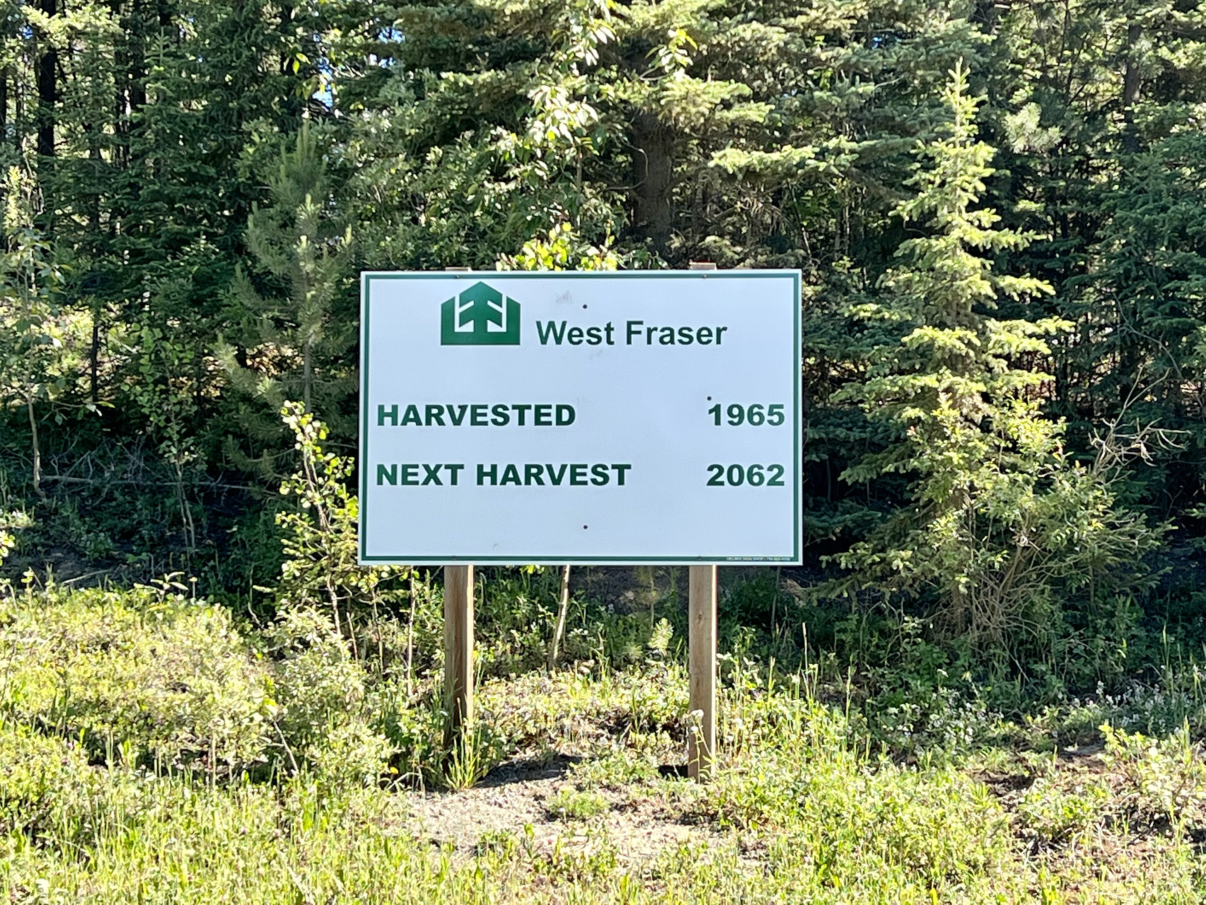
I crossed into Yellowhead County, and there was a painted wooden welcome sign in the middle of nowhere. I thought about trimming the bush that was blocking it, but decided to let it be. I was riding through areas that had been clear-cut and re-planted. I came to a clearing on a hill and saw snow covered mountains to the southwest. The land straight ahead to the northwest was flat.
I passed a sign for an active logging haul, and was passed by a flatbed semi-truck that kicked up clouds of dust. I rode downhill into the Cardinal River Valley, and stopped at the Brazeau River Campground. Once again, the water pump handle was missing. I crossed the long modern I-beam supported bridge and let an empty logging truck cross the deck before me. There was a maintenance guy in the middle of the bridge with some sort of wench cable that descended down to the river. Afterwards I climbed up the other side of the valley.
The empty logging trucks were heading south, and the full ones were returning north. Both were creating a dusty fog. There was a brown film over everything. Had I been wearing sunscreen, it would be caked to my skin even worse than it was. I came to the intersection with Elk River Road, and took a left. I saw my first sign for Robb which was thirty-two miles away. The river was dark brown, and I crossed over a small bridge. The bugs were bad so I didn't stop at the Pembina Forks Campground to look for water.
I rode through really soft sand, and I was concerned about the truck traffic and poor visibility. I then came to an area where gravel had just been laid, and I was relegated to the far right. I rode by the turn-off for Fairfax Lake Campground, and then passed a giant road scraping machine at work. The fresh gravel was too loose to ride on and I stayed to the far right.
And then, all of a sudden, I saw a sign confirming that Highway 734 had ended, and that I was now on Highway 40. I’d been on 734 for days. I noticed a nearby helicopter lifting off into the sky. By 11:30 AM I was more than halfway to Robb. There wasn’t a single cloud in the sky and the land had really flattened out. I had a couple miles of nice hard smooth dirt, and could make up some time.
I passed the entrance to the Coal Valley Mine, and a mile down the road I stopped at Lovett River Campground to flip my map section. I was eighteen miles from my destination and had ridden thirty-eight miles. It was 12:15 PM. The road surface turned to pavement and I had a tail wind. I had a three foot shoulder with rumble strips to my left. The pavement markings were faded.
I passed what looked like a large strip mining operation to the north. On my map the place was listed as DISS, and no services or population were mentioned. And then I came to the junction with Highway 47 which I would be continuing on. The ACA Cadomin Alternative Route, which I would not be doing, took 40 southwest. I crossed the Embarras River. I crossed over a railroad track at Coalspur Junction and was now headed northeast into the wind. I was following the train track and Embarras River downstream north.
I stopped in Robb and went to the Cole Branch Hotel. The restaurant and bar were closed, and the hotel and store seemed shuttered. As I was about to leave, a woman came running out to summon me. There was a small store where I could get junk food and soda. I purchased a two liter bottle of Coke, a bag of Snyders of Hanover Hot Buffalo Wing Pretzels, and a small sack of Honey Roasted Peanuts. I heard from Don who was in Fernie. He also hadn’t enjoyed the Elk Valley Trail. He mentioned that while he was up on Red Meadow pass a cyclist had died there of a heart attack.
The sun was strong and I sat at a picnic table underneath a broken umbrella that barely covered me. If I wanted any real food I would need to ride twenty-eight more miles to Hinton. I didn’t have a choice. Robb had been listed as an orange star on the ACA digital map, which meant that there was a so-so chance of services. It was a good thing that I wasn’t finishing here at the end of a long day, as originally planned.
After my stop I rode through Robb to confirm that there weren’t any other services. I found a small park with a playground, picnic shelter, baseball field, and skateboard park. I cycled back out to the Highway and then continued on gravel Robb Road on my way to Hinton. I was met with a convoy of semi-trucks hauling drilling and mining equipment heading east. Giant gravel trucks were headed west. Sufficed to say, there was a lot of dust which greatly effected visibility. I had to keep wiping the brown film from my screens with my fingers. The gravel was pretty chunky in places and super sandy in others. Many of the truck drivers would slow down and give me space.
I had a nice flat section where I could crank out some miles. I came to a downhill into the McLeod River Valley. I rode into the McLeod campground to pump and filter some water, and then returned to the highway. My destination was still twenty miles away. It was 4:19 PM and I had ridden seventy miles. I continued to make good time on the gravel. As it got later in the day, there were less commercial trucks and the motor vehicle traffic kicking up dust was medium to light. I was having problems with my gear shifter, probably because of the dust. I also observed that sealant was squirting from my front tire. I could feel it on my shins, and could see trails of a white liquid residue. The gear shifting was driving me crazy, and I was stuck in a low gear.
I finally got to the top of the hill, and noticed tall jagged silhouetted mountains ahead. There was definitely a hole in my front tire, and I stopped to repair it. Big mistake. There were actually two holes which I tried to plug, and this only made it worse. It was windy and my pipe-cleaner plug accessory blew away. Mentally and physical deflated, I started walking down the hill into town. I stopped again for another plug attempt. I used my CO2 cartridge to inflate the leaking sealant spewing tire. The pressure somewhat held, and I was able to ride down into town and past the ginormous Hinton Pulp plant. I rode past the city park campground and made notes of where the bike shops were located.
I went to Rojo Marrón Mexican Restaurant where I ordered several strawberry margaritas and Dos Equis, along with chips and guacamole, chicken enchiladas, and a Caesar salad. I sat in the front window and edited this report until they closed.
 |
| Wild camping alongside the Blackstone River |
 |
| Rolling up my tent |
 |
| Alberta Highway 734 Bridge over the Blackstone River |
 |
| Welcome to Yellowhead County sign in the middle of nowhere |
 |
| Alberta 734 North, aka Forestry Trunk Road |
 |
| Dust from a passing logging truck |
 |
| Small pond along the Pembina River |
 |
| Tree farm |
 |
| Nice of them to name the town after me |
 |
| Map/Elevation Profile |


Comments
Post a Comment